»Current OSU/Stillwater Weather View

» Detailed Local Weather
» Oklahoma City, Tulsa, Dallas Weather
» More Local Weather Info Here & Here.
|
 |
|
UV Forecast Apr 18 2024 is 7.9
Max value=11+. More on UV here. |
Good day
Sunrise: 06:48 AM CDT
Sunset: 08:06 PM CDT
04/18/2024 07:43
This site member of:
DONATE
If you like this ad free local weather service,
then please consider making a donation in any amount via PayPal. Thank you!

| Stillwater Weather Forecast -
Outlook Today & Tonight |
Today

Slight Chance Showers And T-Storms then Mostly Cloudy
Hi 78 °F ↓ |
NWS forecast: A slight chance of showers and thunderstorms between 8am and 11am. Mostly cloudy. High near 78, with temperatures falling to around 68 in the afternoon. West northwest wind 16 to 22 mph, with gusts as high as 33 mph. Chance of precipitation is 20%. New rainfall amounts less than a tenth of an inch possible.
|
Tonight

Partly Cloudy
Lo 46 °F |
NWS forecast: Partly cloudy, with a low around 46. North northeast wind 8 to 17 mph, with gusts as high as 26 mph. |
|
| Short Term Weather Forecast For Stillwater |
Friday

Partly Sunny
Hi 66 °F |
Friday
Night

Chance Showers And T-Storms
Lo 48 °F |
Saturday

Rain Showers Likely
Hi 58 °F |
Saturday
Night

Rain Showers Likely
Lo 44 °F |
Sunday

Chance Rain Showers then Partly Sunny
Hi 62 °F |
Sunday
Night

Mostly Clear
Lo 42 °F |
|
NWS forecast for Stillwater, OK updated Thu, 04-18-2024 3:07am CDT.
Forecast script from Saratoga-Weather.org
|
» Fully Detailed Forecast Here
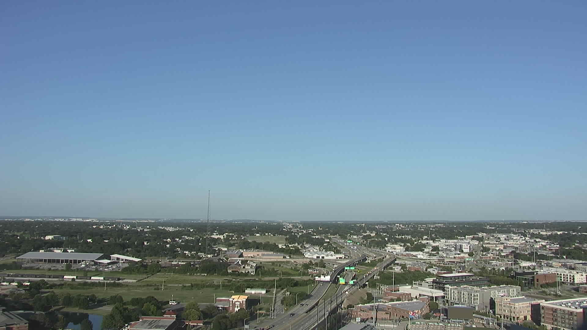
» Stillwater 3 Day Flyby Weather Forecast Drone Style
» Oklahoma Weather Summary Page
» Area Forecast Discussion
MEANINGS OF NOAA WEATHER INFO RELEASES:
A statement generally provides additional or follow up information to an existing weather condition.
An advisory is for less serious conditions that cause significant inconvenience and, if caution is not exercised, could lead to situations that may threaten life and/or property.
A watch is used when the risk of a hazardous weather event has increased significantly, but its occurrence, locations, and/or timing is still uncertain. It is intended to provide advance notice of possible inclement weather.
A warning is used for conditions posing an immediate threat to life or property. Depending on the type of warning, you should take immediate, appropriate action.
Heat related meanings here.
MORE WEATHER INFO
USA Weather Extremes Here
Weather Trends at stillwaterweather.com Here
This Day in American Weather History Here
|
|
GO MOBILE
|
|
RECENT OKLAHOMA EARTHQUAKES FOUND HERE |
MORE WEATHER LINKS AND MORE
»TORNADO SAFETY FAQ
» Submit Storm Reports
» See Storm Reports
♥ Meet Stillwater's Unknown Life Saver From Storms In Video
» Oklahoma Road Conditions
» Oklahoma Traffic Advisories
» Stillwater Allergy Level and Forecast
» Stillwater Gas Prices
» Stillwater Fishing Forecast
» River Levels In Oklahoma
» Live Flight Interactive Map
» About This Site
» About Stillwater
» Search stillwaterweather.com
» Contact stillwaterweather.com via Email